Drone Data Analyst at Geocurve Ltd.
During my masters course at Leeds University I learnt the skills of generating high resolution point clouds data using Unmanned Aerial Vehicles (e.g. Drones) and became interested to gain further knowledge about this technique as I keen to use this technique in my PhD research. So following my passion of flying drones and data processing, I went to Kelvedon in the Essex County after finishing MSc Degree where I did an internship for one month at the Geocurve Ltd. as a Drone Data Analyst.
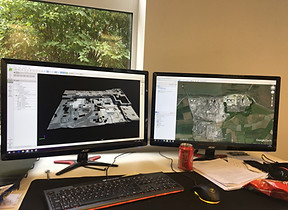
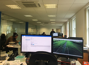
As an intern in the UAV department, I was responsible for processing data to generate 3D point clouds, creating fine resolution DEMs, orthophotos using Pix4D Mapper. On many occasions, I had the opportunity to go to the field with the team of commercial pilots to collect data by flying drones (e.g. DJI Mavic pro, DJI Phantom etc). I also used LSS and Global Mapper software for data processing which helped me to enhance my data processing skills.


Top left to bottom right: Collecting the GCPs using total station and GPS; Defining the survey plan for the drone to operate; flying drone to capture data; processing the captured data in the office.